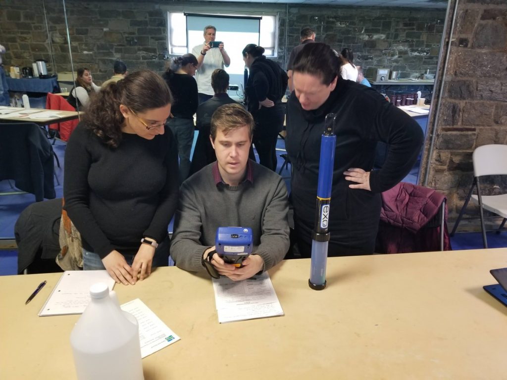
On a windy Tuesday morning in May, Elena Colón hauled her twenty-first and final bucket of water from Mamaroneck Harbor into the old stone building at the tip of Harbor Island Park in Mamaroneck Harbor. Each bucket of cold Sound water was used by a different monitoring group, gathering in Mamaroneck for a day of training conducted by Colón, Save the Sound’s Environmental Analyst, and Peter Linderoth, our Water Quality Program Manager.
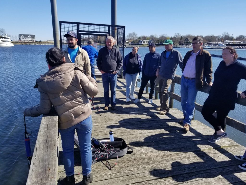
Elena Colón demonstrating use of a multi-parameter sonde to a group of participants
It took five training days to accommodate all the groups, which traveled from as far as Wequetequock Cove near the Connecticut-Rhode Island border, and Goldsmith Cove on the Northfork of Long Island, to Mamaroneck to receive training and equipment for the third year of the Unified Water Study (UWS). “These annual trainings ensure quality and consistency for our monitoring network,” said UWS study coordinator Peter Linderoth, “They’re also an opportunity for this exceptional collective of like-minded individuals to get together and discuss issues facing their corner of the Sound.”
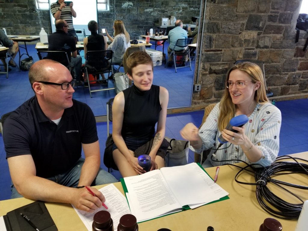
Chris, Margo and Aaron from Derecktor Shipyards
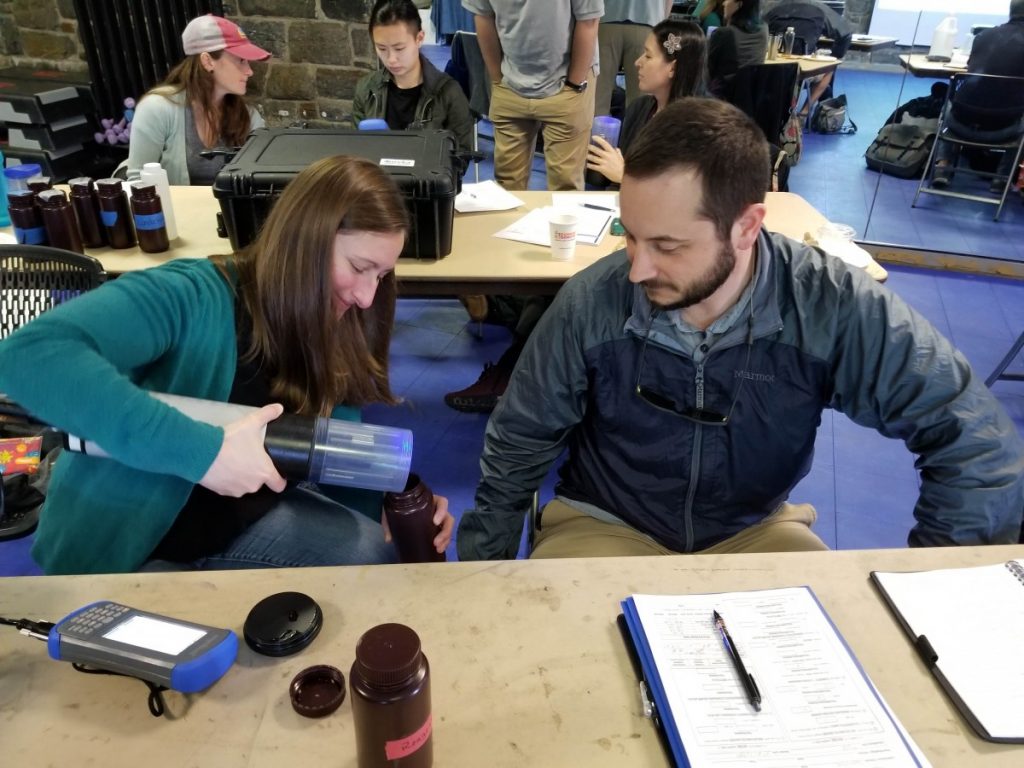
Carolyn and Michael from Cornell Cooperative Extension of Suffolk County Marine Program
Their shared mission: to collect water quality data from thirty-nine Long Island Sound bays and harbors to identify the impacts of excess nitrogen and other pollutants. Waterways with high nitrogen are susceptible to algae blooms, including dense mats of seaweed, and low oxygen conditions that deplete salt marshes and can cause fish die-offs.
Each week from May through October, the UWS monitoring groups rise before 5am, check and calibrate their water quality monitoring equipment, haul it down to their respective docks and set out on their boats just as the sun peaks over the horizon. “It’s critical to get out within three hours of sunrise to collect dissolved oxygen data because of the daily fluctuations of oxygen levels in these waterways. These data would not be comparable across waterways, or even in one waterway, if the sampling were to occur at different times of the day.” explains Elena Colón.
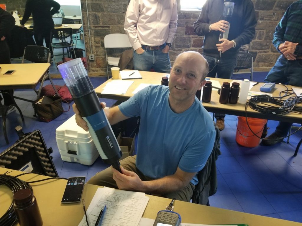
Kevin Blagys from the Ash Creek Conservation-Black Rock Harbor Group
Jessica, Brett and Evelyn from Interstate Environmental Commission
What is the Unified Water Study?
Started in 2017, The Unified Water Study was designed to assess the environmental health of Long Island Sound bays and harbors. More specifically, the UWS monitors and characterizes the impacts of nutrients like nitrogen on these waterways. The data is being used to identify Sound bays and harbors that are suffering from too much nitrogen, and to drive action to reduce nitrogen inputs and improve local water quality.
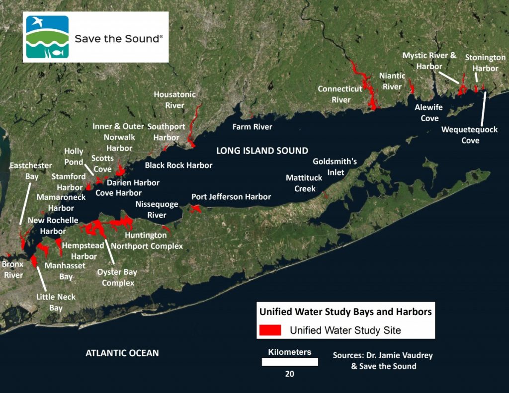
Map of the focus areas of the 2019 United Water Study
In total, twenty-two groups will monitor 39 bays and harbors in 2019 for UWS Tier I parameters which include dissolved oxygen, chlorophyll a, turbidity, temperature, salinity, and qualitative macrophytes. All participating groups are required to follow a standardized set of procedures to allow for direct comparisons between the locations monitored.
What’s new in 2019?
This year we are excited to announce the addition of Tier II monitoring in 12 locations. Tier II parameters include continuous dissolved oxygen, nutrients (nitrogen and phosphorous), and video surveys of the bay or harbor floor.
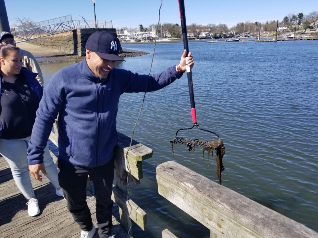
Macrophyte rake toss by Michael Mendez from Bronx River Alliance.
Also in 2019, two new groups have joined the study. The Bronx River Alliance will be monitoring the Bronx River, NY. Ash Creek Conservation Association in partnership with the Bridgeport Regional Aquaculture Science & Technology Education Center will be monitoring Black Rock Harbor, CT.
Who Are the Unified Water Study Groups?
Save the Sound (UWS coordinator)
| Embayment: | Organization: |
| Black Rock Harbor | Ash Creek Conservation Association |
| Bronx River | Bronx River Alliance |
| Wequetequock Cove, Mystic River, Mystic Harbor | Clean Up Sound and Harbors |
| Hempstead Harbor | Coalition to Save Hempstead Harbor |
| Connecticut River | Connecticut River Conservancy |
| Centerport Harbor, Huntington Bay, Huntington Harbor, Lloyd Harbor, Northport Bay, Northport Harbor | Cornell Cooperative Extension of Suffolk County Marine Program |
| Mamaroneck Harbor | Derecktor Shipyards |
| Oyster Bay, Cold Spring Harbor, Mill Neck Creek | Friends of the Bay |
| Farm River | Friends of the Farm River Estuary |
| Goldsmith’s Inlet, Mattituck Harbor | Group for the East End |
| Inner Norwalk Harbor | Harbor Watch |
| Little Neck Bay, Manhasset Bay | Interstate Environmental Commission |
| Stonington Harbor, Alewife Cove | New England Science & Sailing Foundation |
| Nissequogue River | Salonga Wetland Advocates Network |
| Niantic River | Save the River – Save the Hills |
| Eastchester Bay, Hunter Island Bay, New Rochelle Harbor | Save the Sound |
| Port Jefferson Harbor | Setauket Harbor Task Force |
| Stamford Harbor, Holly Pond | SoundWaters |
| Outer Norwalk Harbor | The Maritime Aquarium at Norwalk |
| Darien Harbor, Cove Harbor, Scotts Cove | Town of Darien |
| Southport Harbor (Mill River) | Town of Fairfield – Conservation Department |
| Housatonic River | Town of Stratford – Conservation Department |
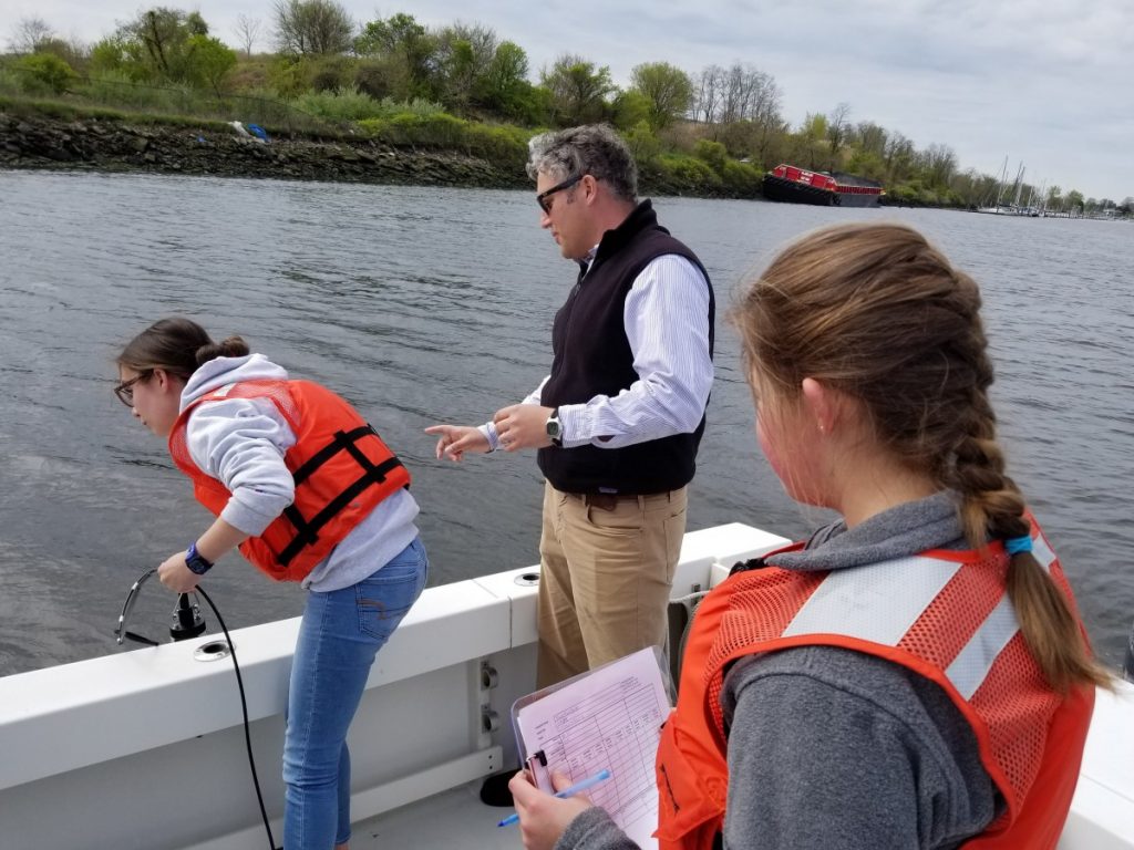
Peter Linderoth with student participants in Black Rock Harbor.
What’s next?
Data from the UWS will be featured in the next Long Island Sound Report Card in 2020.
Anyone with questions or comments about the United Water Study, please send them to: plinderoth@savethesound.org

Hi
How do I contact the people for Port Jefferson Harbor to help out?
Hi Brice, please email our water quality program manager at plinderoth@savethesound.org. Thanks for your interest!