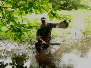
It’s 8 AM and I’m knee-deep in river water.
Doused in bug spray, wielding a clipboard, a walking stick, and a machete, it’s early but I’m glad to be outside before the heat sets in and the bugs come out. I’m here with Brian Holdt—a member of CFE/Save the Sound’s Green Projects Team—and we’re on an adventure.
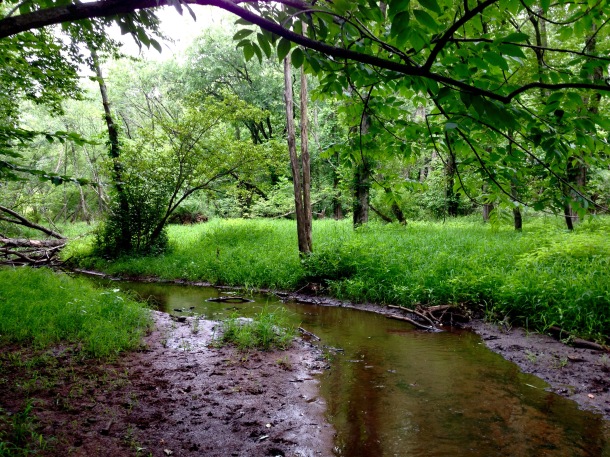
For the past several weeks, Brian has been wading through urban streams in Hamden, New Haven, West Haven, Woodbridge and Bethany—taking notes about everything from rocks and sand in the stream beds to bank erosion, stormwater outfalls, and tree cover. He’s on a mission to help collect information about the physical conditions of over 26 miles of river bed in the West River and its seven tributaries—by foot and by boat—from source to sea.
The surveys are broken down into small segments—called reaches—which cover anywhere from half a mile to two miles, each to be surveyed by a team of two to six people. When the stream surveys are complete, CFE/Save the Sound will compile and add the data to the West River Watershed Management Plan.
Last Tuesday, I decided to take a break from the office and join Brian for a survey. This morning, it’s just the two of us standing in the middle of Wilmot Brook in Hamden, looking forward to a mile and a half walk upstream from Benham Street, just west of Sacred Heart Academy, to Howard Drive and Paradise Avenue. I’m here to lend a hand and learn more about why this is so important.
– – –
Stormwater outfall! Left bank!
Following his training from the Natural Resources Conservation Service, Brian ticks off a box on the spreadsheet where he tallies the stream conditions and jots down notes about the outfall: its size, shape, construction, and whether or not water is flowing (flow on dry days such as this might indicate a problem). Brian tells me that he has encountered as many as 16 such pipes in a single reach, each of which sends stormwater runoff from the surrounding land straight into our streams. It’s not uncommon to encounter pollution problems near stormwater outfall.
Stormwater flows over land and picks up fertilizers, grease, heavy metals, pet waste, and other debris. In addition to the pollution that the runoff causes, the bursts of extra water flowing from pipes during a storm can scour the stream bed and create erosion problems along the banks. If water is flowing through a pipe when it’s not raining, it could be because groundwater has seeped into the pipe through a crack. It could also be because a homeowner or business has illegally tapped into the pipe—and is dumping more than merely rain water. This outfall is bone dry.
We’re standing under a dense canopy of deciduous trees. It’s cool in the shade as we wade upstream. Wilmot Brook is ten feet wide, two feet deep, clear, and flowing smoothly over its cobble rock bottom. All is good.
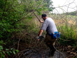
Around the river bend, things change quickly. The maple canopy is all but gone, replaced by an understory thick with prickers and vines. Brian puts the machete to good use. Moving ahead slowly, the machete is no longer cutting, just pushing. Without a chainsaw, this portion of the steam is impassable. Brian pauses, glancing at his map. “This,” he says, “will be an interesting case.”
The notes that we take will help us to estimate average conditions along the entire stream reach. We make observations of conditions such as the makeup of the river bottom, the vegetation and canopy cover, and the land use close to and far from the stream, but conditions can change rapidly in urban and residential areas. Looking at the map, some of our reach appears to pass through dense forest and some through an open field. On our survey worksheet, we will indicate an average condition of 50% to 75% canopy cover.
Contemplating this logic, I climb out of the stream and wade, instead, through hip-high grass.
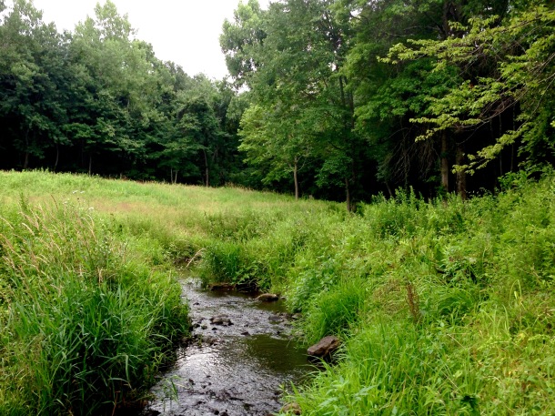
The surveys, Brian tells me, are meant to give a quick snapshot of physical stream conditions throughout the watershed. When we compile all the information, patterns will emerge. We will gain a clearer understanding of why we face certain problems in one part of the watershed but not another. Some areas may also need to be looked at more closely. Gathering all of this information will help us to prioritize future work in the watershed, and help anyone who loves to get in the water learn more about our rivers and what we can do to protect and restore them.
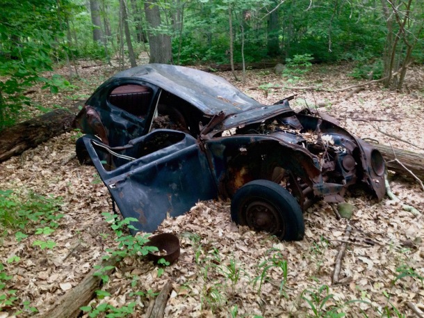
Back in the brook, we find the riparian zone has changed again, from a tangle of vines to grasses and ferns. The water is moving slower; our boots sink through a layer of muck as we walk. The going is slow, but not unenjoyable. We startle some bull frogs and follow deer paths. We find very large freshwater mussels…and a classic Volkswagen Beetle hidden in the brush.
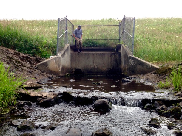
Passing through another patch of forest, we come to a clearing. Just ahead, the brook is pouring out of large culvert at the base of a 40-foot earthen dam. We take photographs and note the culvert as a potential barrier to fish because of its height and flow speed. Scaling the dam, we find geese and blue herons are enjoying the sun-splashed pond on the other side.
Farther upstream, the brook flows through an inland marsh. The dam slows the flow of water, causing silt and sediments to settle to the bottom of the stream. Gradually plants took root in the silty sediment, and the brook has changed from a single channel into a loose weave of thin streams around pockets of grasses and small trees. The brook—more mud than water in spots—appears shallow, but looks can be deceiving.
SEEEEEEUP. SPLASH! Brian, trying to cross from one bank to another, is now thigh-deep in silty mud! Thankfully, he’s wearing tall waders! With help from the walking stick, he’s soon freed from Wilmot quicksand.
Around 10 AM, we walk along an eggplant farm to complete our adventure, joking about the muck and how exactly that Beetle got into the woods. Another stream reach is complete and we are a little better informed about how Wilmot Brook and the West River Watershed changes from source to sea.
– – –
We still have plenty more sections to cover, including some requiring a canoe or kayak! We’re on the lookout for a few volunteers join on these brief expeditions. You’ll help us take notes and photos, identify important features, and explore areas of your hometown rarely enjoyed. You don’t have to be Teddy Roosevelt or Lewis & Clark—just have a positive attitude, a love for nature, and a willingness to get a little wet. It’s a whole lot of fun.
Contact Brian Holdt (bholdt@savethesound.org) or Kendall Barbery (kbarbery@savethesound.org) to volunteer!
Posted by Tyler Archer, fisheries program lead for CFE/Save the Sound.

